Samburuland
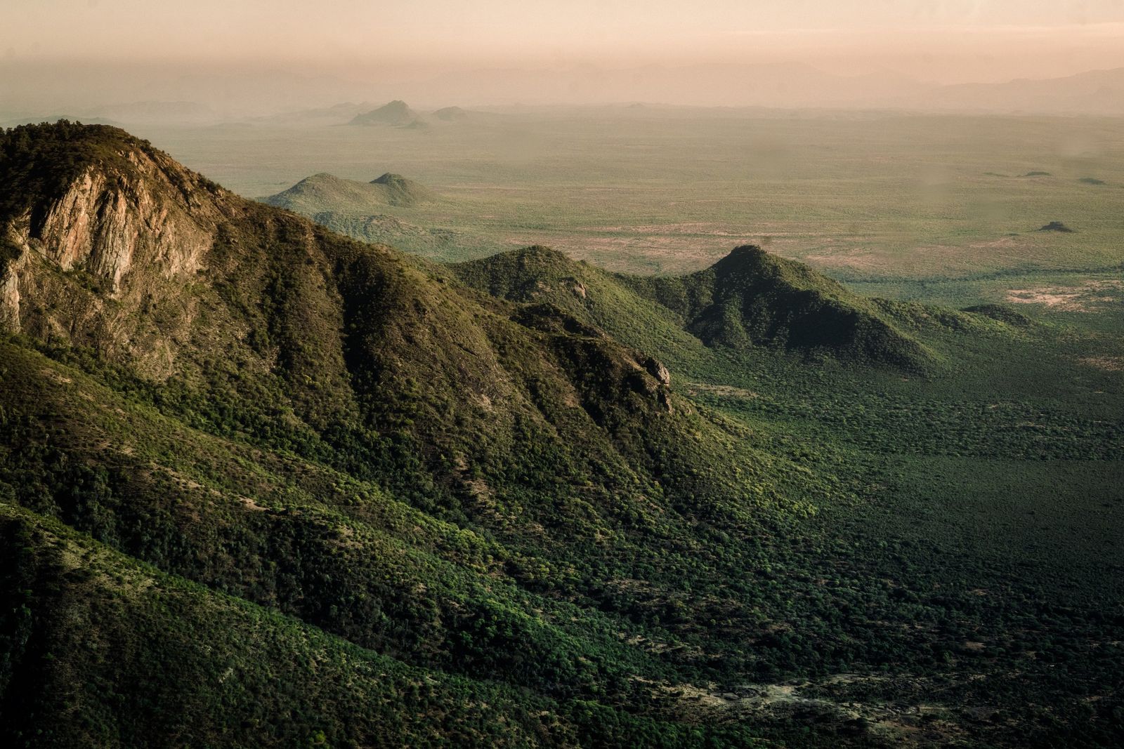
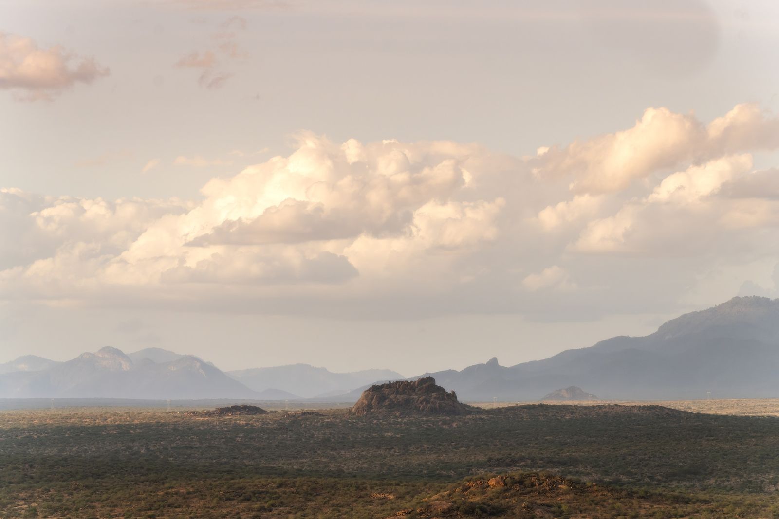
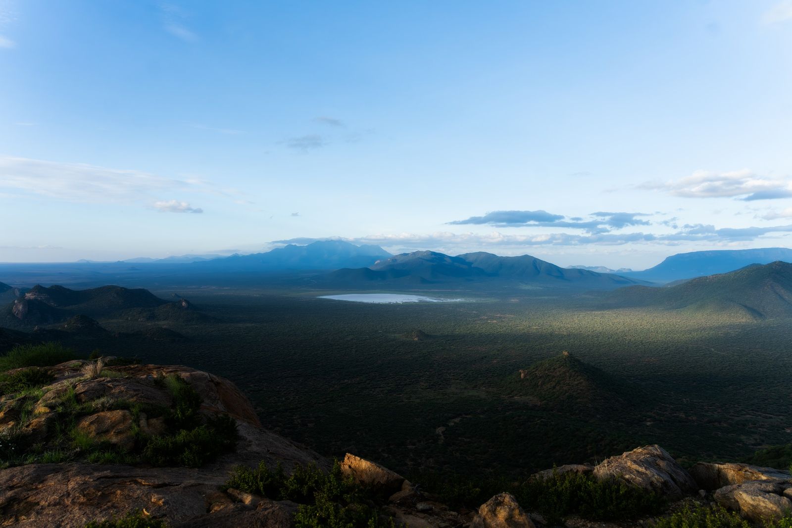
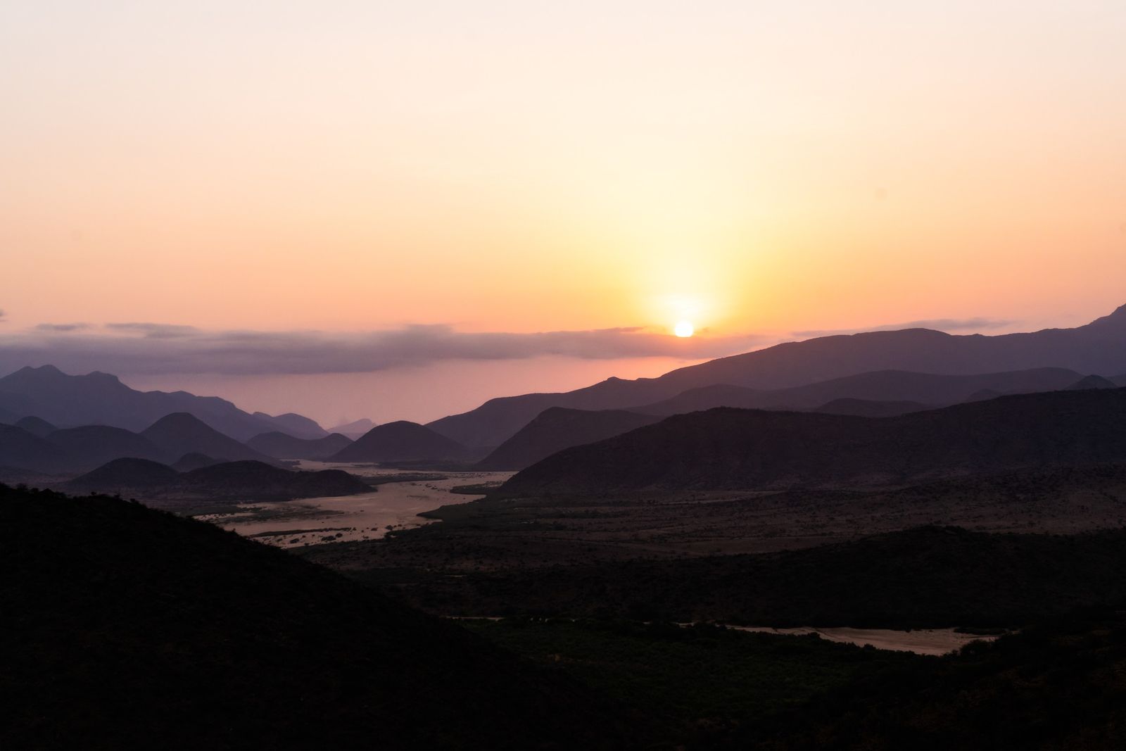
Our journey starts north of Mount Kenya, where the highlands fall away into hot, dry country of red earth, thorn and wide sandy riverbeds. This is Samburuland, home of the Samburu tribe. One river runs through it, the Ewaso Ng'iro, and for most of the year it is the only water that lasts. Above the plain stand the flat-topped mountain of Ololokwe and, behind it, the forested ridges of the Mathews Range. The ground beneath is some of the oldest rock in Kenya, the worn-down roots of a mountain range that rose more than 500 million years ago.
Click the map to exploreTap the map to explore
The Ewaso Ng'iro Valley
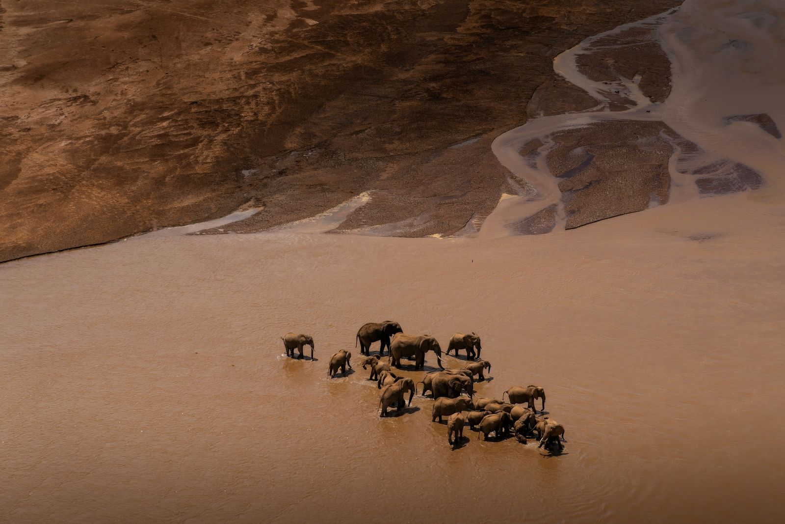
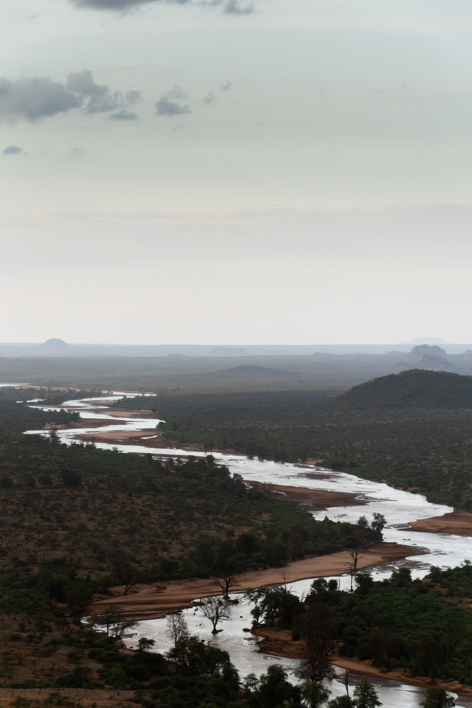
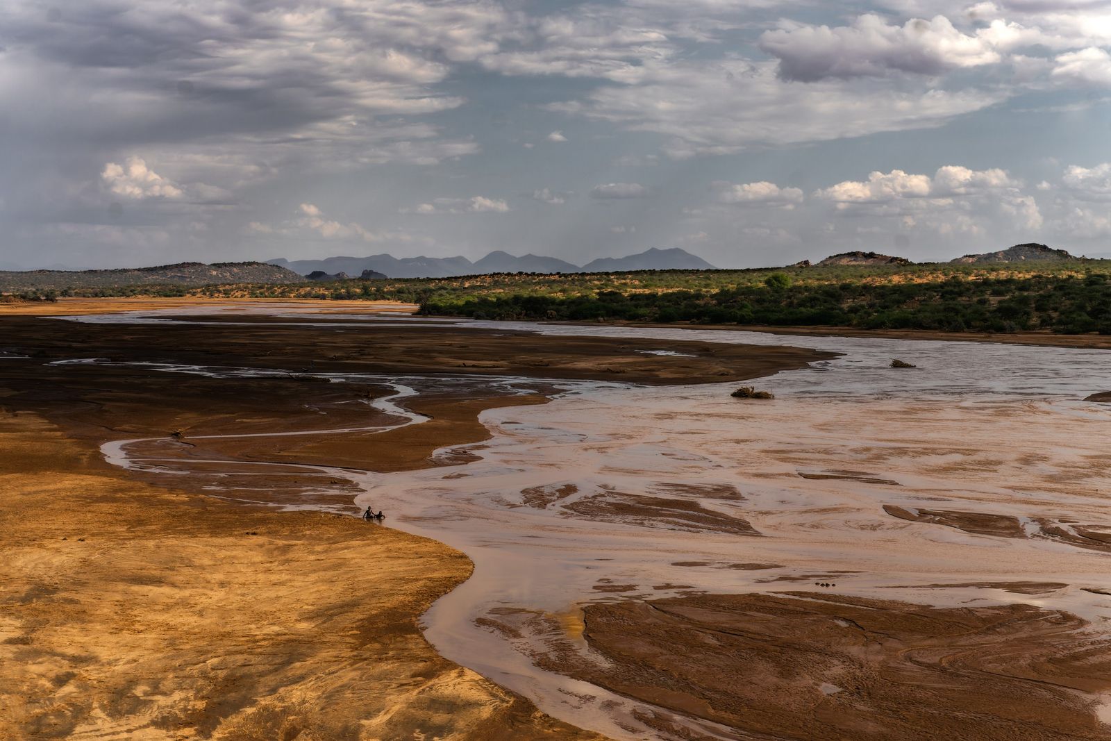
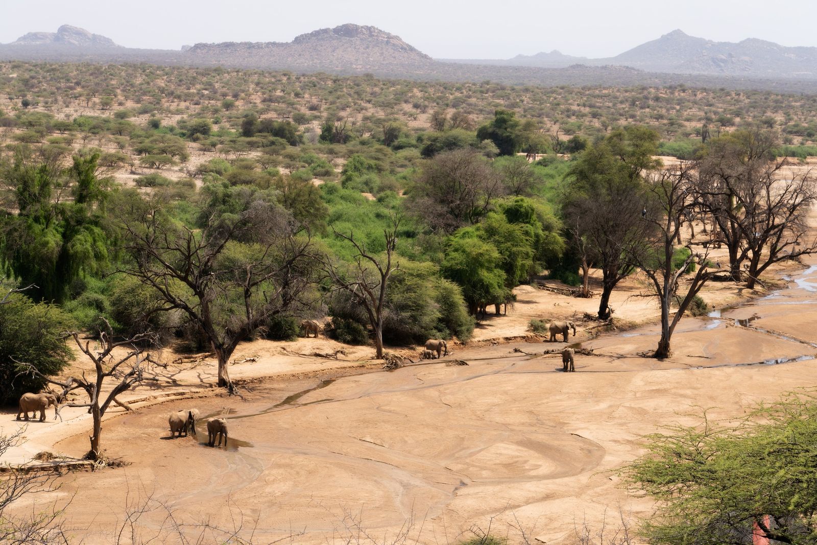
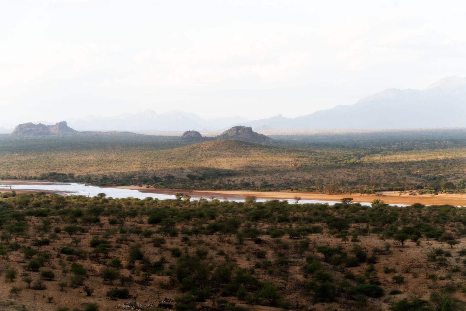
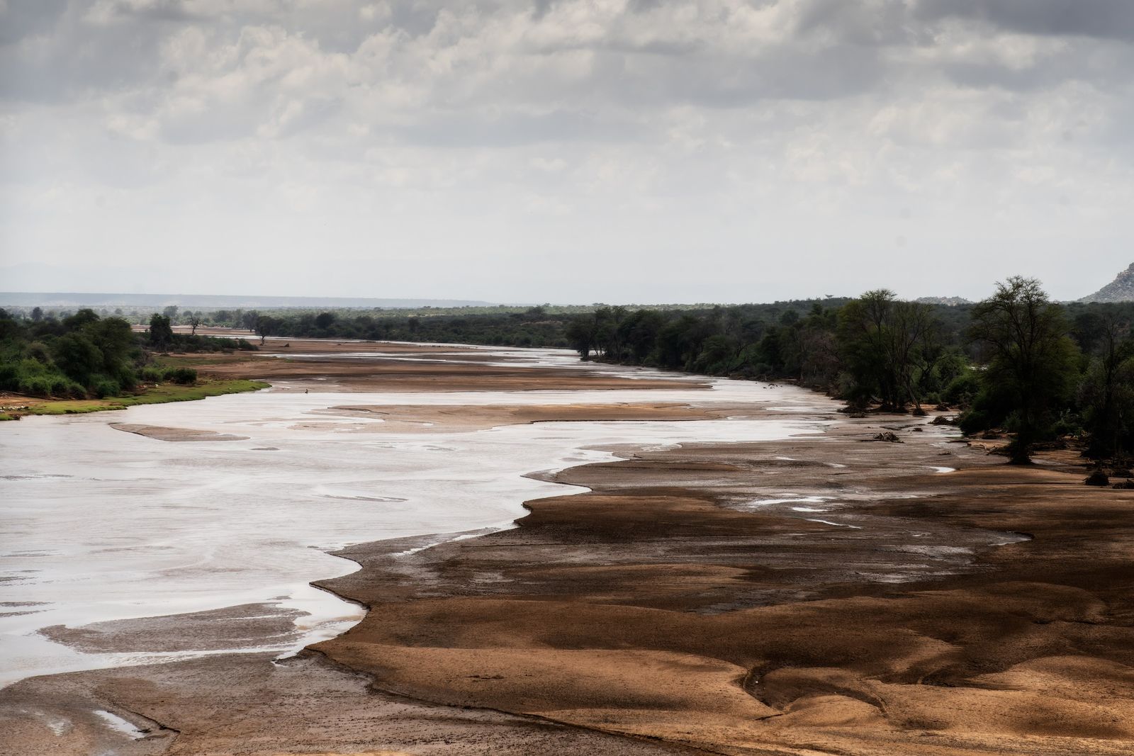
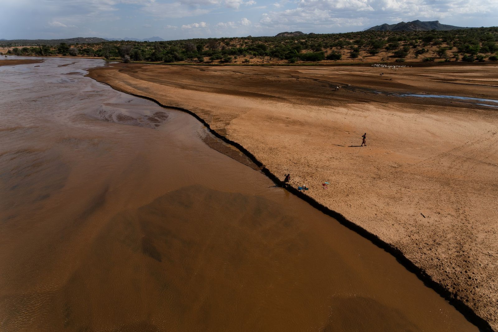
We begin our journey in the valley of the Ewaso Ng'iro. Its name comes from Maa and means "river of brown water". It suits the river. Its water gathers on the forested slopes of Mount Kenya and the Aberdares, crosses the Laikipia plateau and drops more than a thousand metres into the hot, dry country of Samburu and Isiolo, carrying the red soil of the highlands with it.
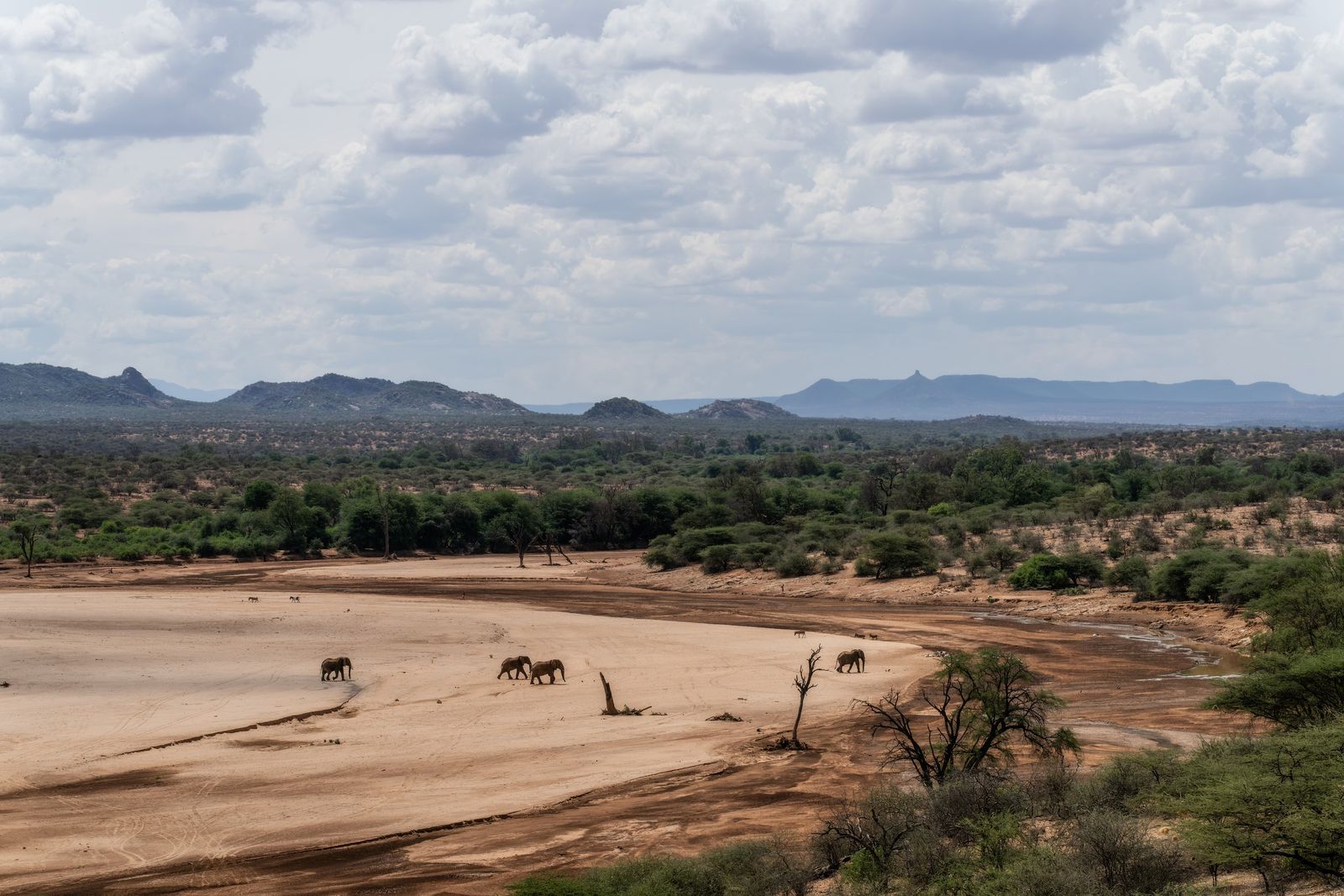
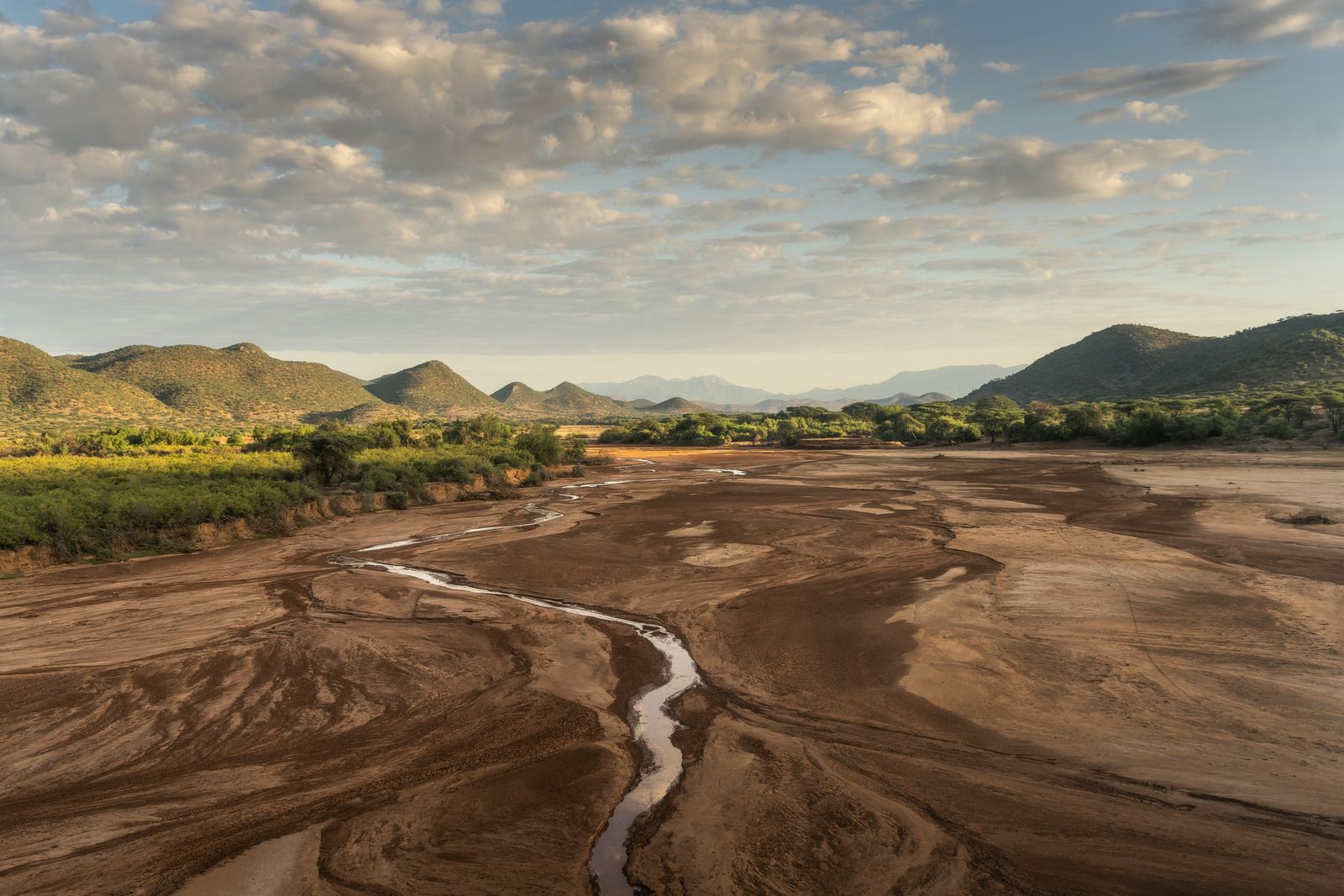
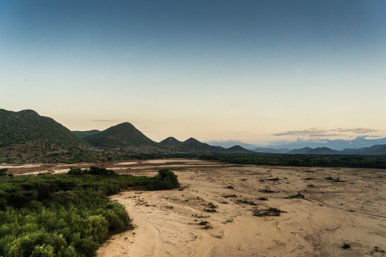
From the air the valley is red earth with one brown ribbon through it. The seasonal streams that feed it, known in the north as luggas, spread out like veins, and for most of the year they hold only sand. When a storm breaks over distant hills they can fill within an hour, run as a wall of brown water and be dry again a few days later.
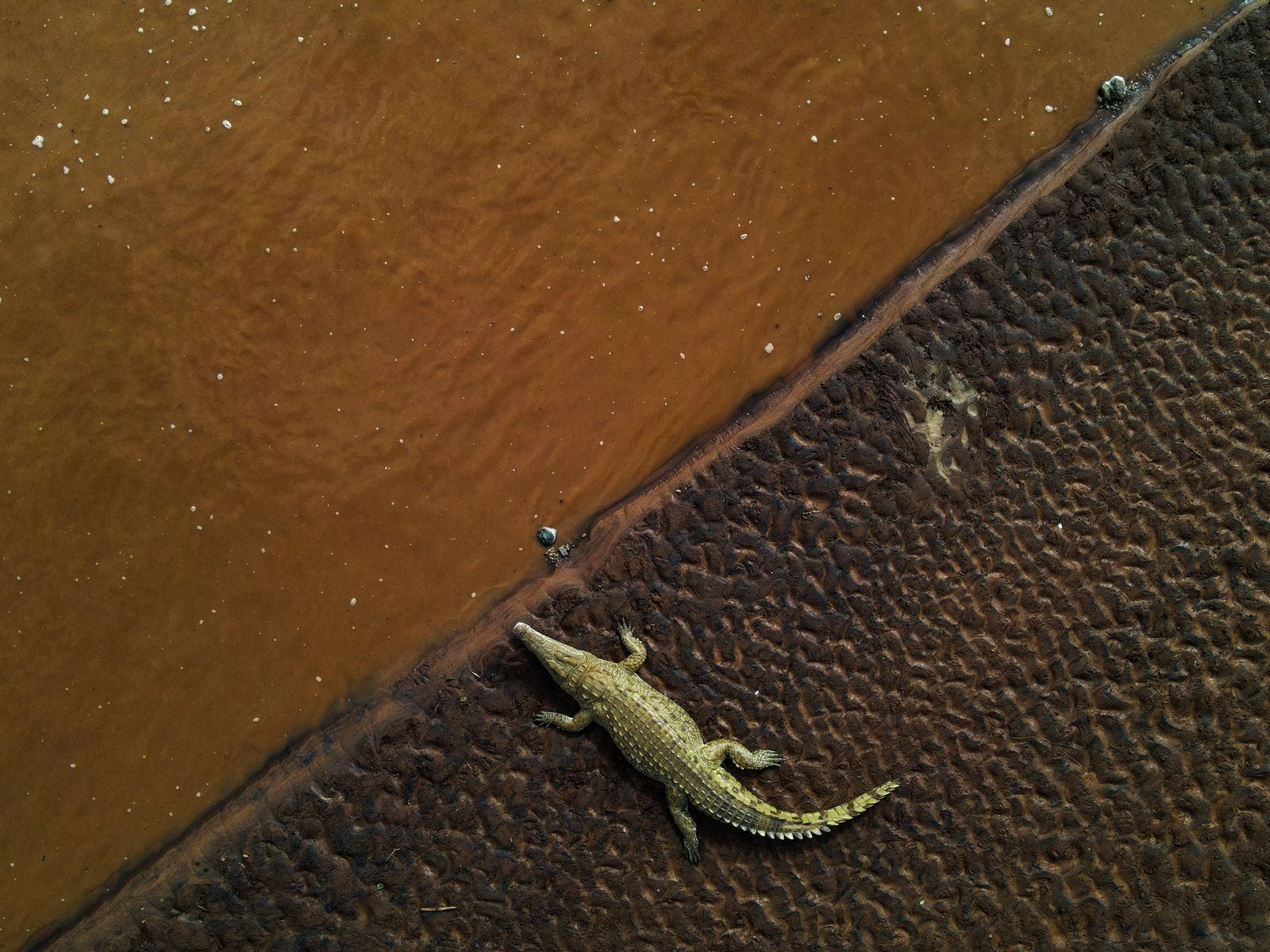
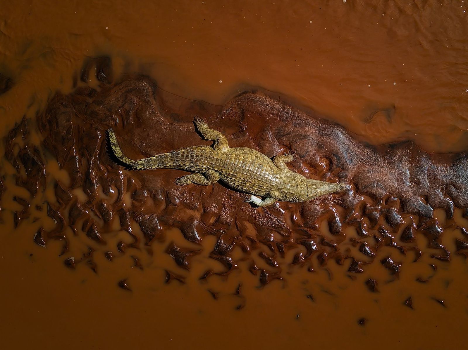
In the dry months almost all the river's water comes from the highland forests, which soak up the rain and release it slowly. So for hundreds of kilometres this is the only water that lasts, and everything comes to it. Elephants wade across in family lines, and when the flow stops they dig through the sand to the water beneath, leaving holes that other animals then drink from. Nile crocodiles lie on the banks, the same colour as the mud. Along the river live animals of the north found almost nowhere else in Kenya: reticulated giraffe, Beisa oryx, gerenuk, Somali ostrich and Grevy's zebra. Fewer than 3,100 Grevy's zebra remain in the wild, and more than nine in ten of them live in northern Kenya.
Its course holds a clue to the deep past. The ancient rock of the plain has a grain that runs mainly north to south, and the river cuts straight across it. The likeliest explanation is that it set its line long ago on a younger, smoother surface that sloped gently east, and kept that line as the surface wore away beneath it.
Ololokwe
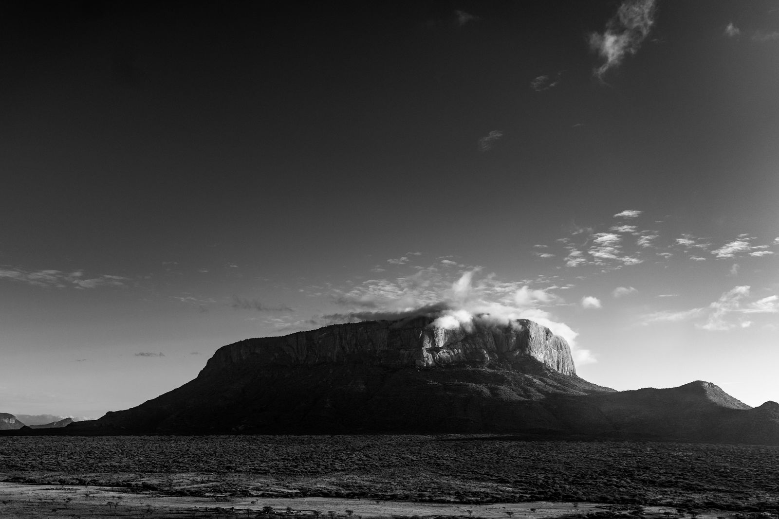
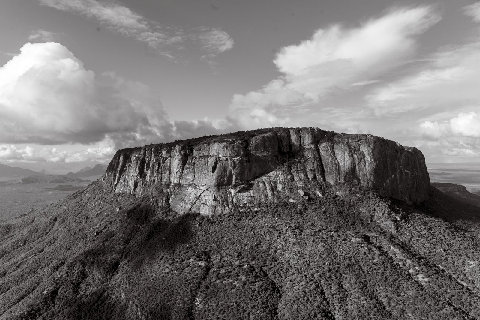
North of the river the country opens out, and one flat-topped mountain stands over all of it. We know it as Ololokwe, but the Samburu call it Ol Donyo Sabache, hold it sacred, and have climbed it to pray for longer than anyone can say.
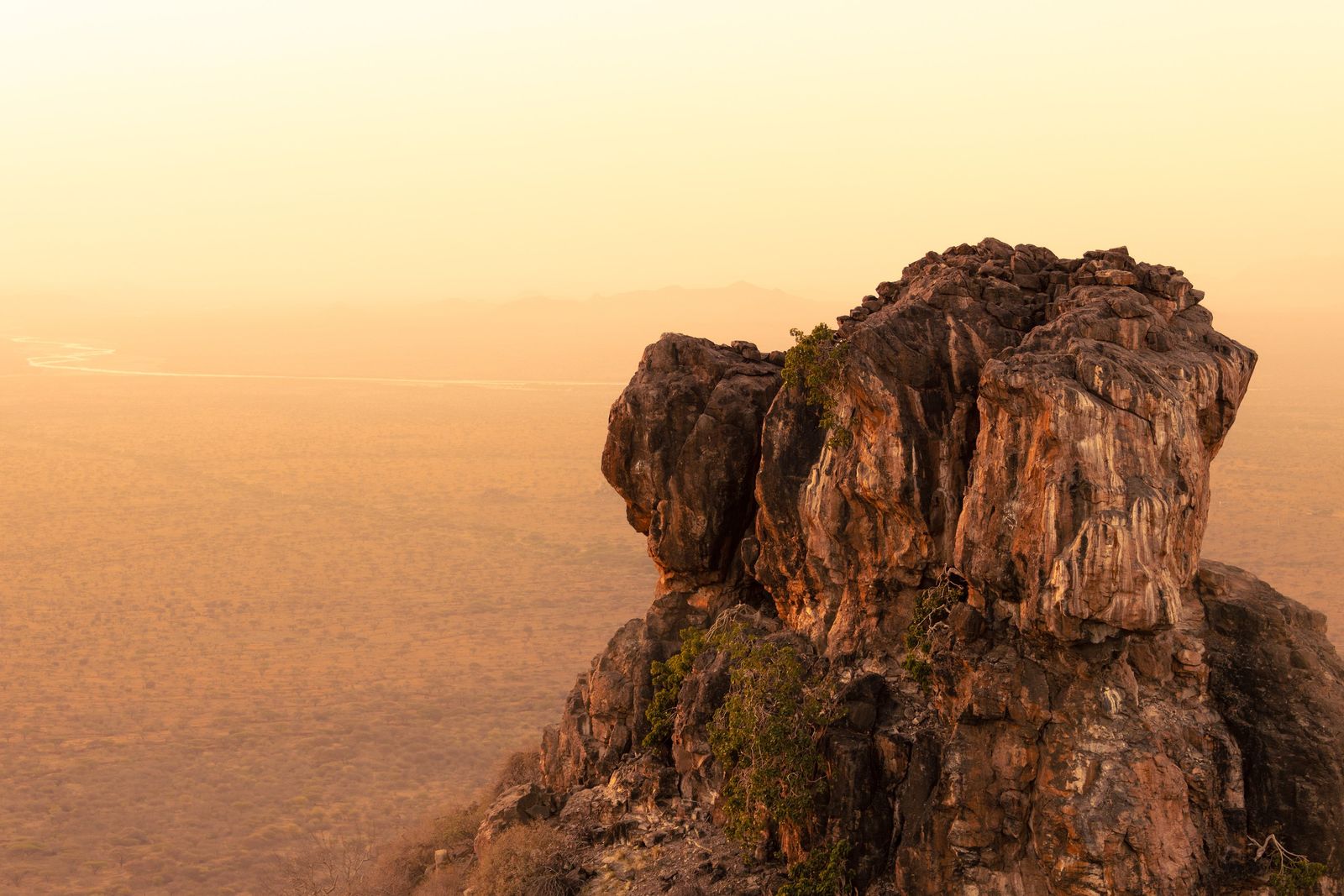
It rises to nearly 1,900 metres, about 800 metres above the plain, and for three-quarters of the way round it ends in sheer cliffs up to 500 metres high. The plain around it is made of far older rock: grey and pink gneiss, quartzite and marble that began as sand, mud and lime on the shores and floor of an ocean. Between about 650 and 550 million years ago that ocean closed as the two halves of the supercontinent Gondwana collided, and the sediments were buried, heated and folded deep in the roots of a mountain range that geologists compare to the Himalaya. That range has been wearing down ever since. The red of the ground is not the colour of the rock but of iron in it, rusting as the rock weathers into soil. Ololokwe itself is migmatite, rock from deep in the roots of that old range, heated until it began to melt and then set again in swirling bands of light and dark. It is harder than the rock around it, so as the plain wore down the mountain was left standing above it like an island.
The summit is a different world. Its flat top is split by a small wooded valley with springs. Cloud often sits on it while the plain below stays dry, and half of it is covered in dry forest of juniper and podocarpus. Among the trees grow cycads, stiff-leaved plants that look like small palms but belong to a far older group, one that was already on Earth before the first dinosaurs. The cliffs hold a colony of up to 120 Rüppell's vultures, a species whose numbers have fallen by more than nine-tenths across much of Africa in the last forty years.
Samburu Plains
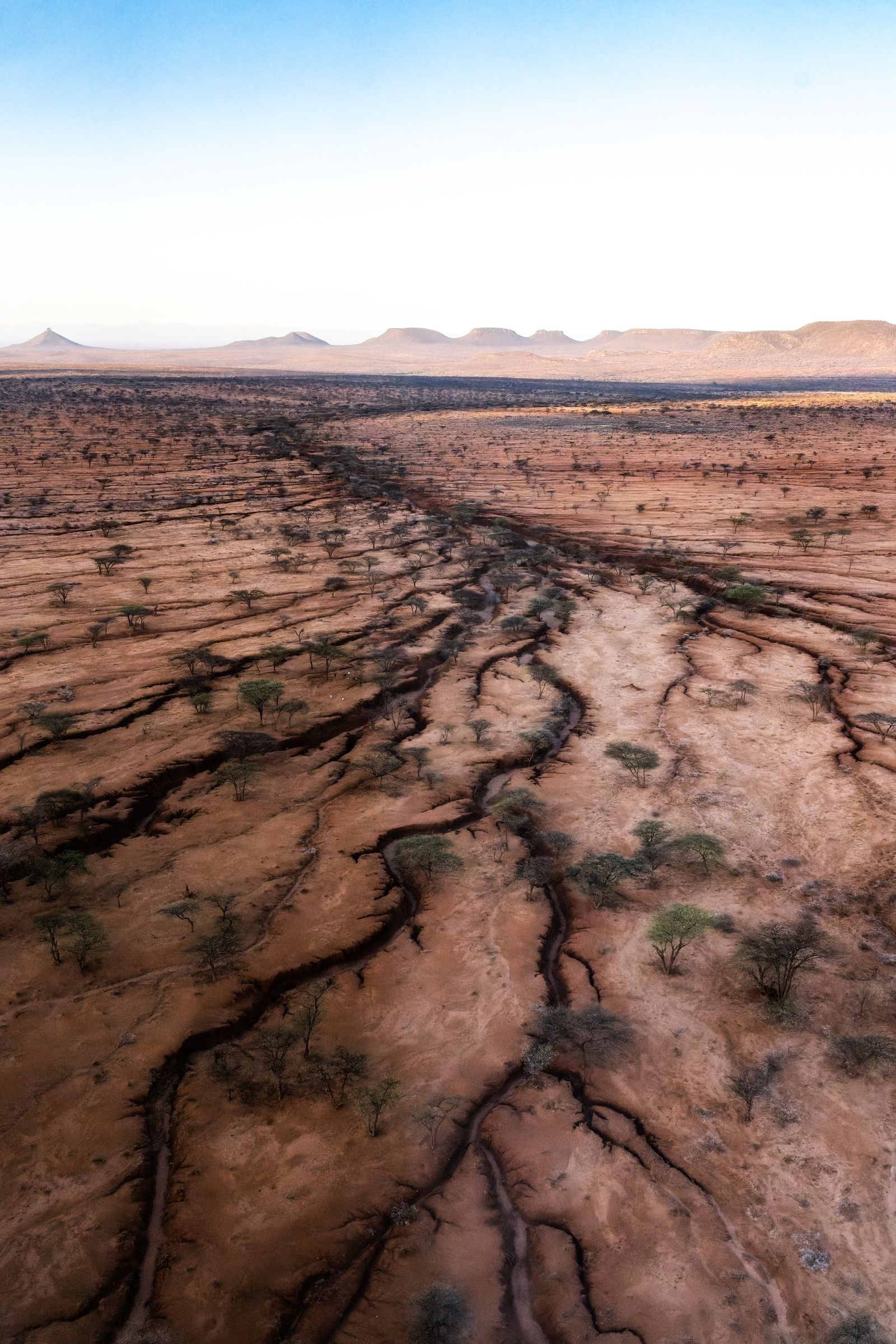
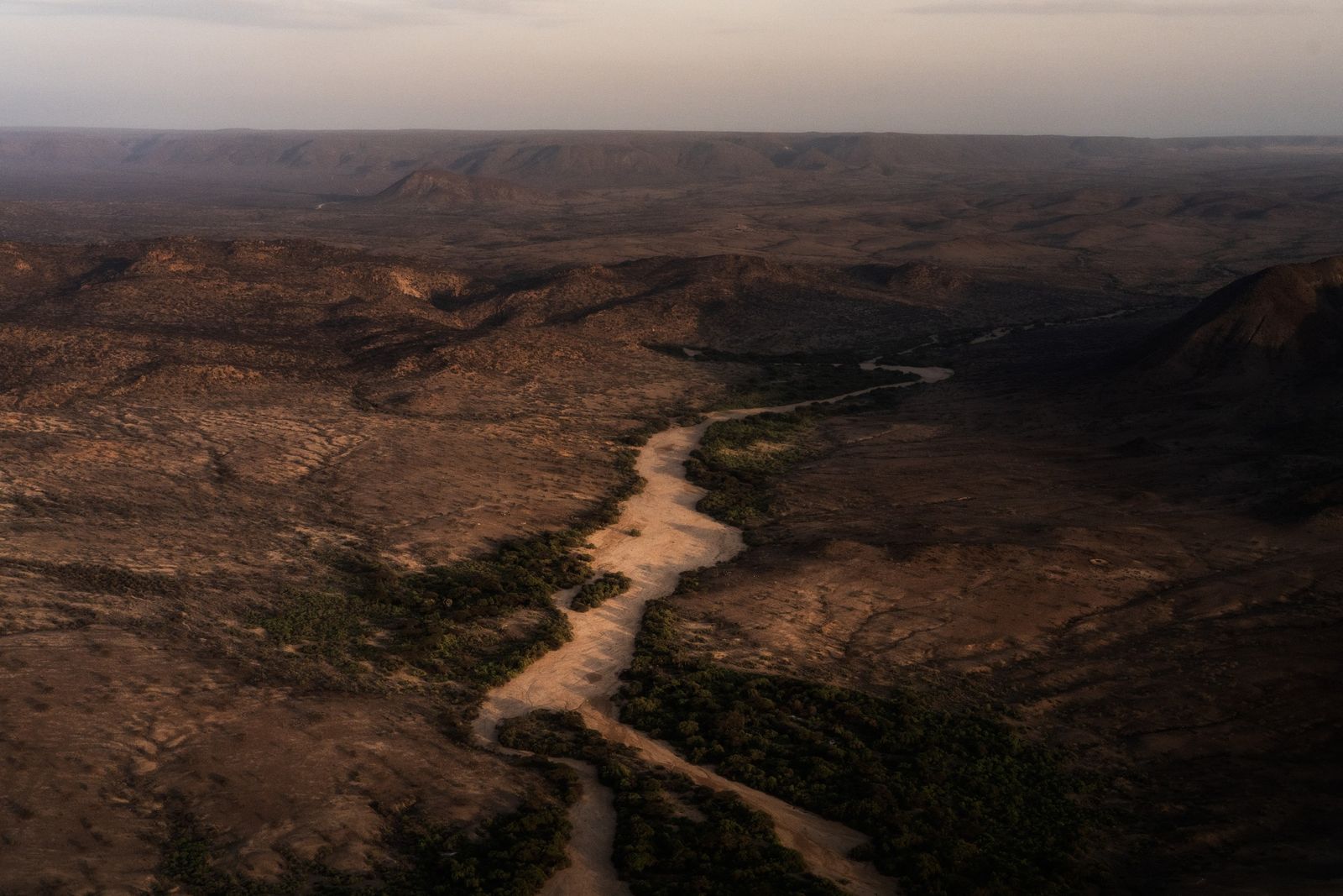
North of Ololokwe the ground levels into the Samburu plains, rough country of red earth, thorn and bare rock. Dry riverbeds cross it, some of them wide rivers of pale sand. From the air these luggas are the clearest lines in the land, winding through the thorn and branching like trees.
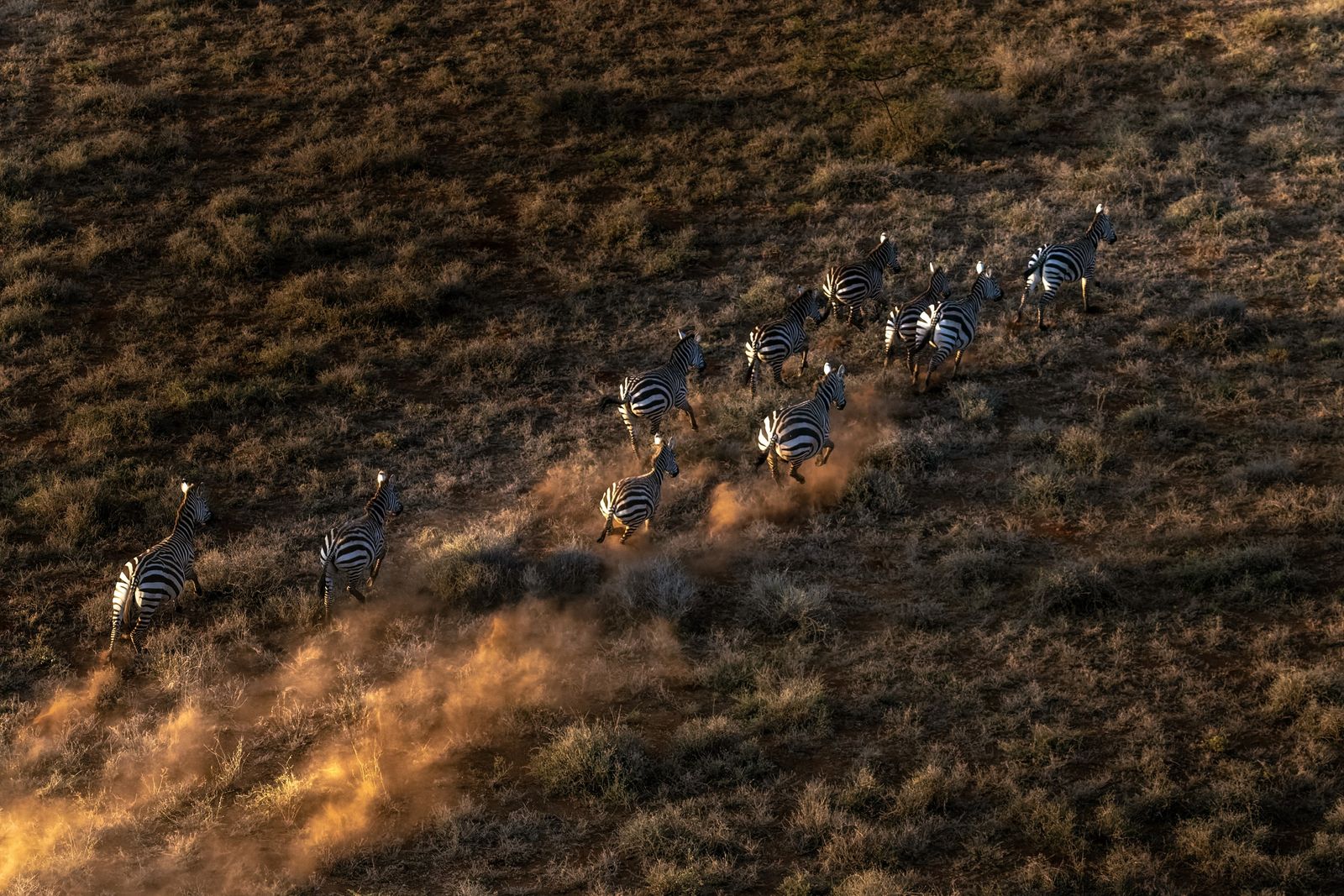
For most of the year they hold no water that can be seen. It lies under the sand, and elephants dig down to it, as the Samburu do for their herds. Zebra, oryx and giraffe graze the plains between the riverbeds. When rain falls on the Mathews Range the luggas run brown and fast for a few hours, and then the water sinks back into the sand.
Rocky hills stand out of the plain like islands. Further north the country grows rougher and the hills crowd closer, until the Ndoto Mountains close the horizon.
The Samburu
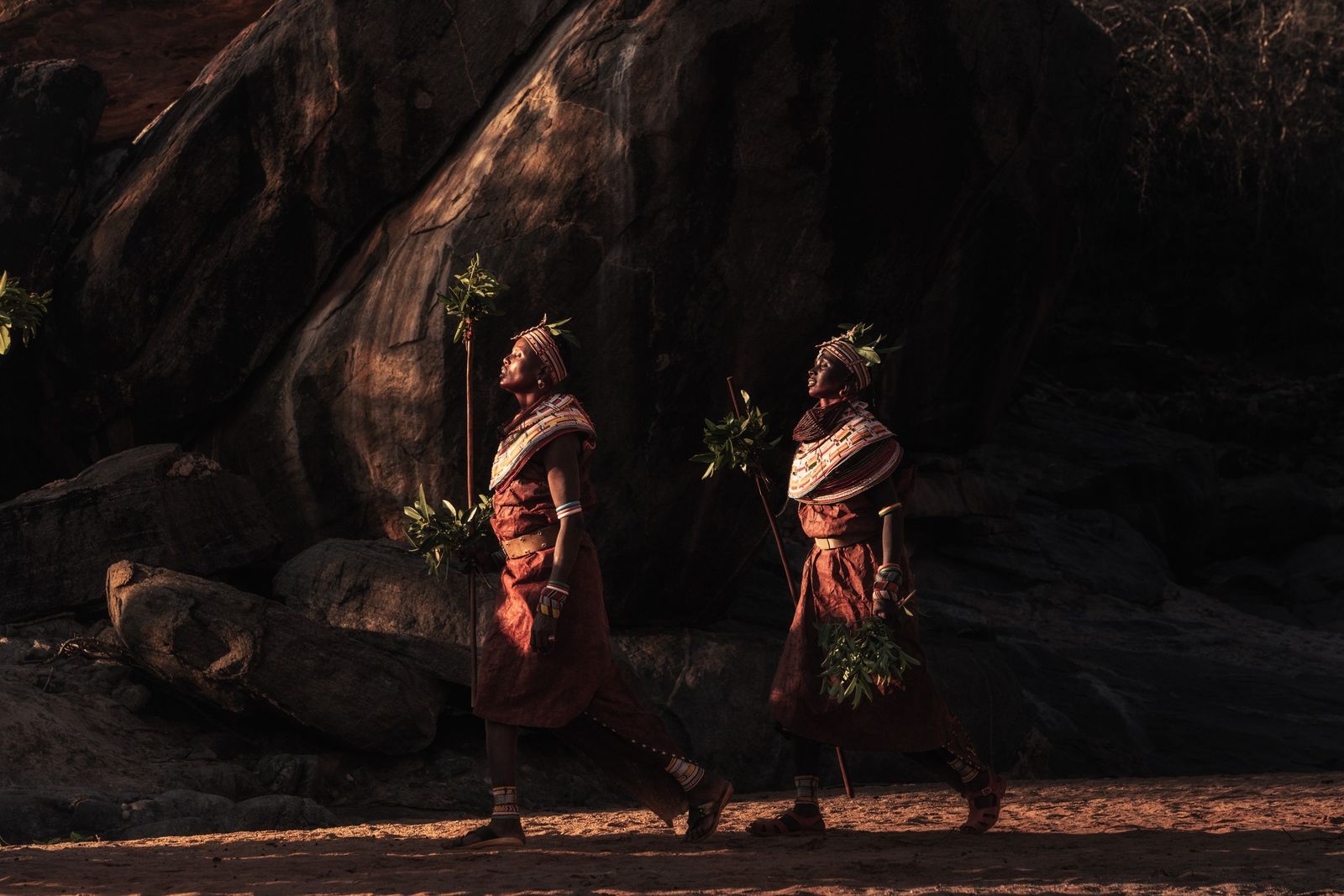
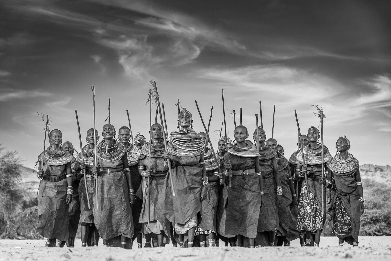
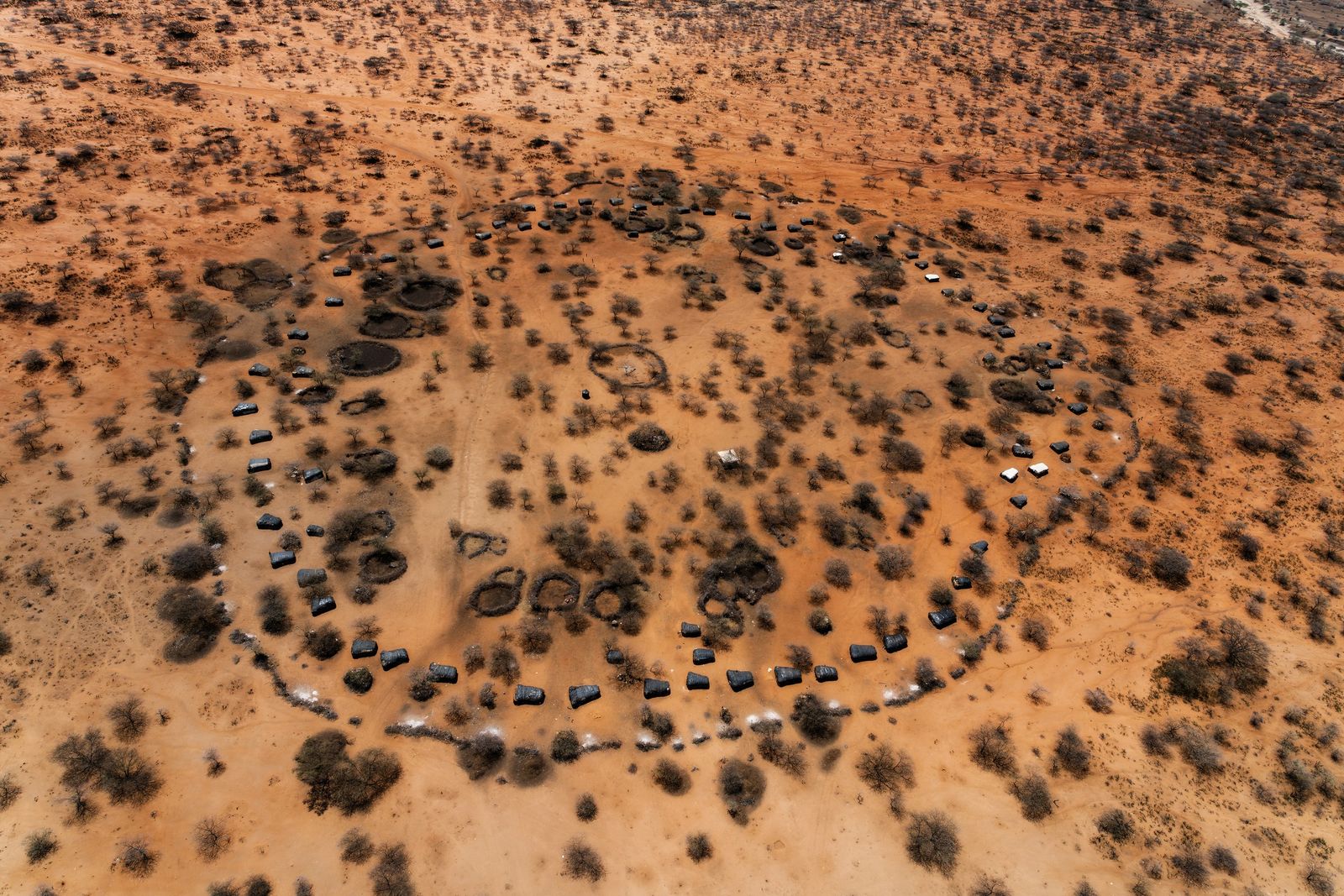
Wherever we travel in this country, we are among the Samburu. They call themselves Loikop, which many of them take to mean "the owners of the land". Their lives follow the rain, and they move with their cattle, camels, sheep and goats to wherever new grass has grown. Their riverbeds carry water for only a few days a year, but water lies under the sand, and they dig wells down to it for their herds. A settlement, or nkang, is a ring of thorn around the huts of a few families, built of sticks, mud and dung, with the livestock pens in the centre so the animals are safe from lions and hyenas at night.
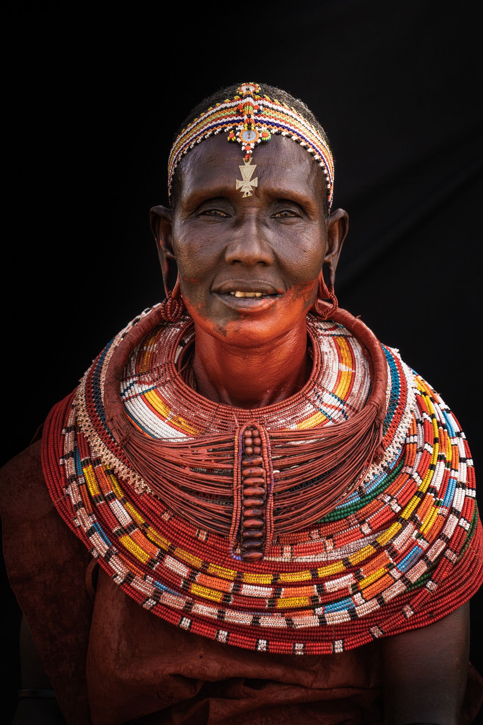
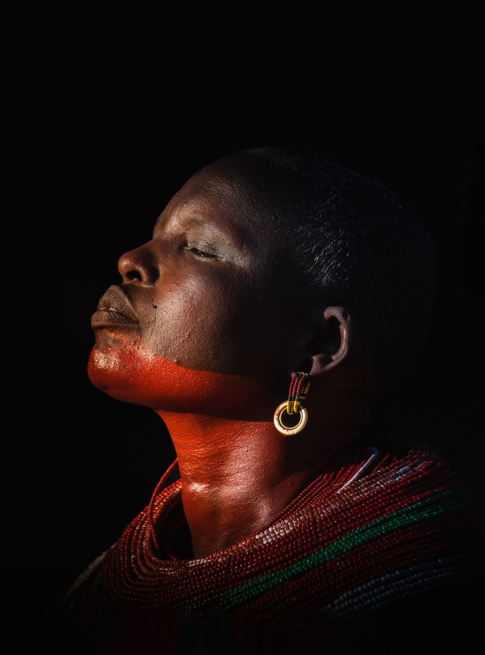
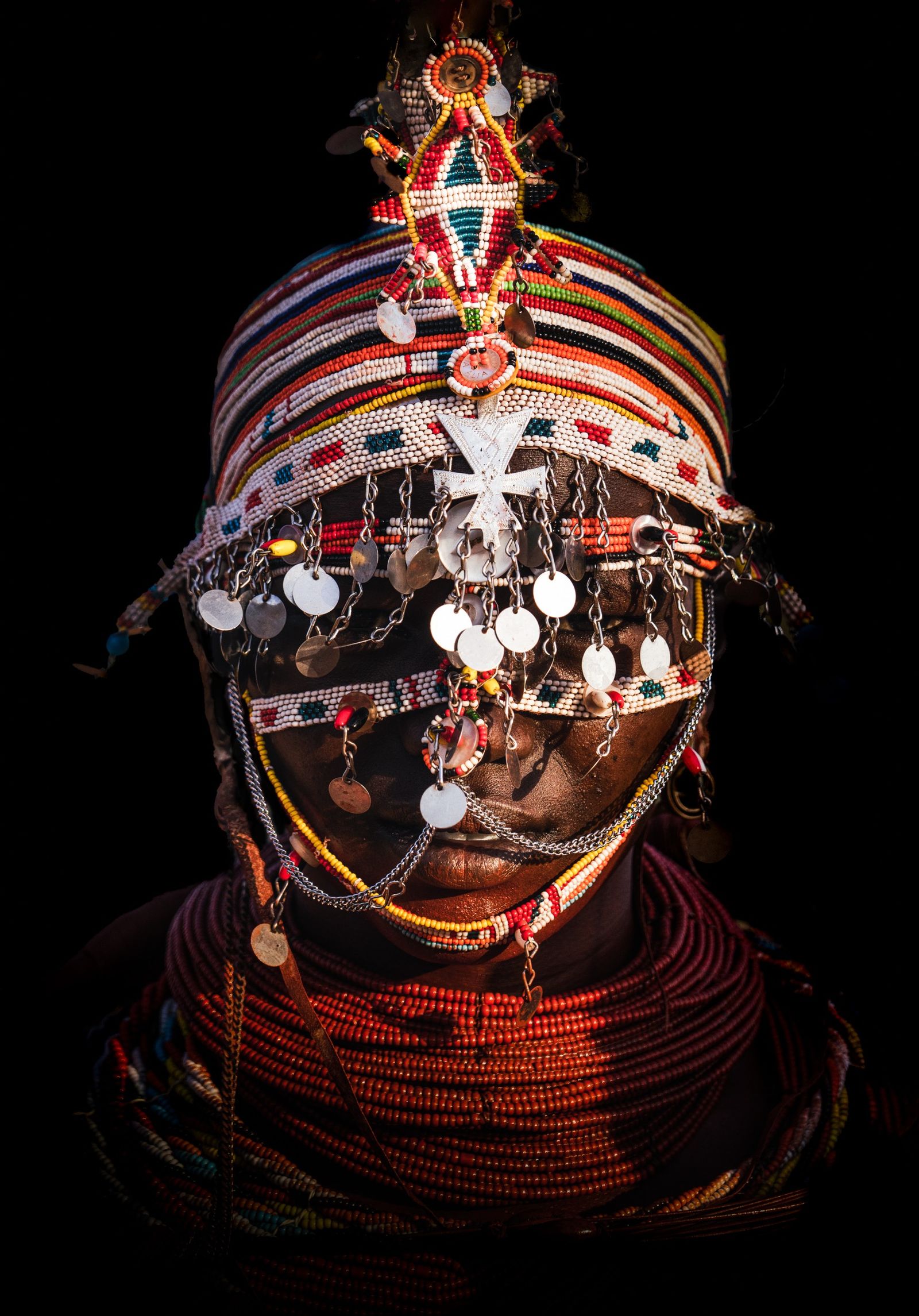
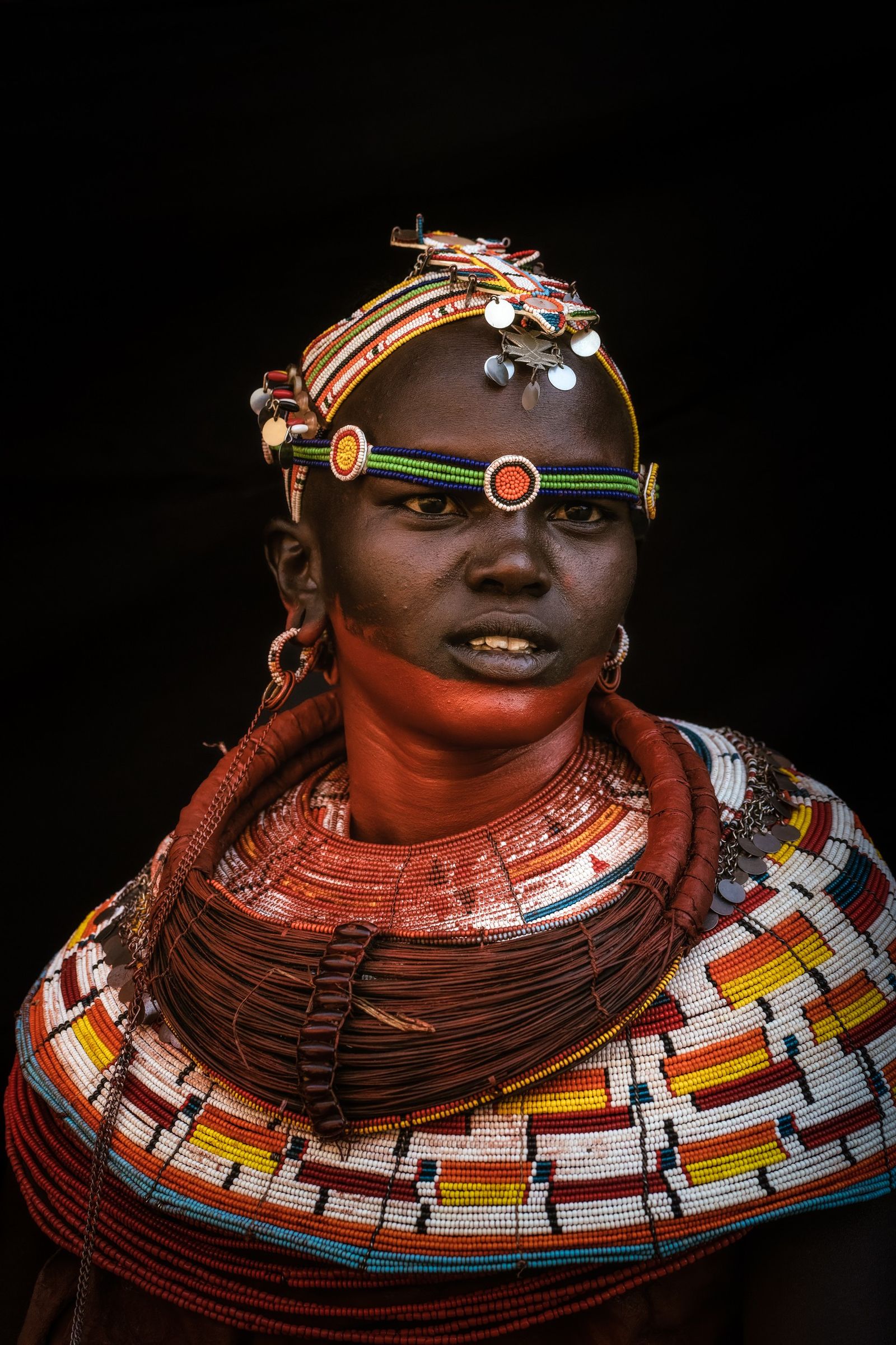
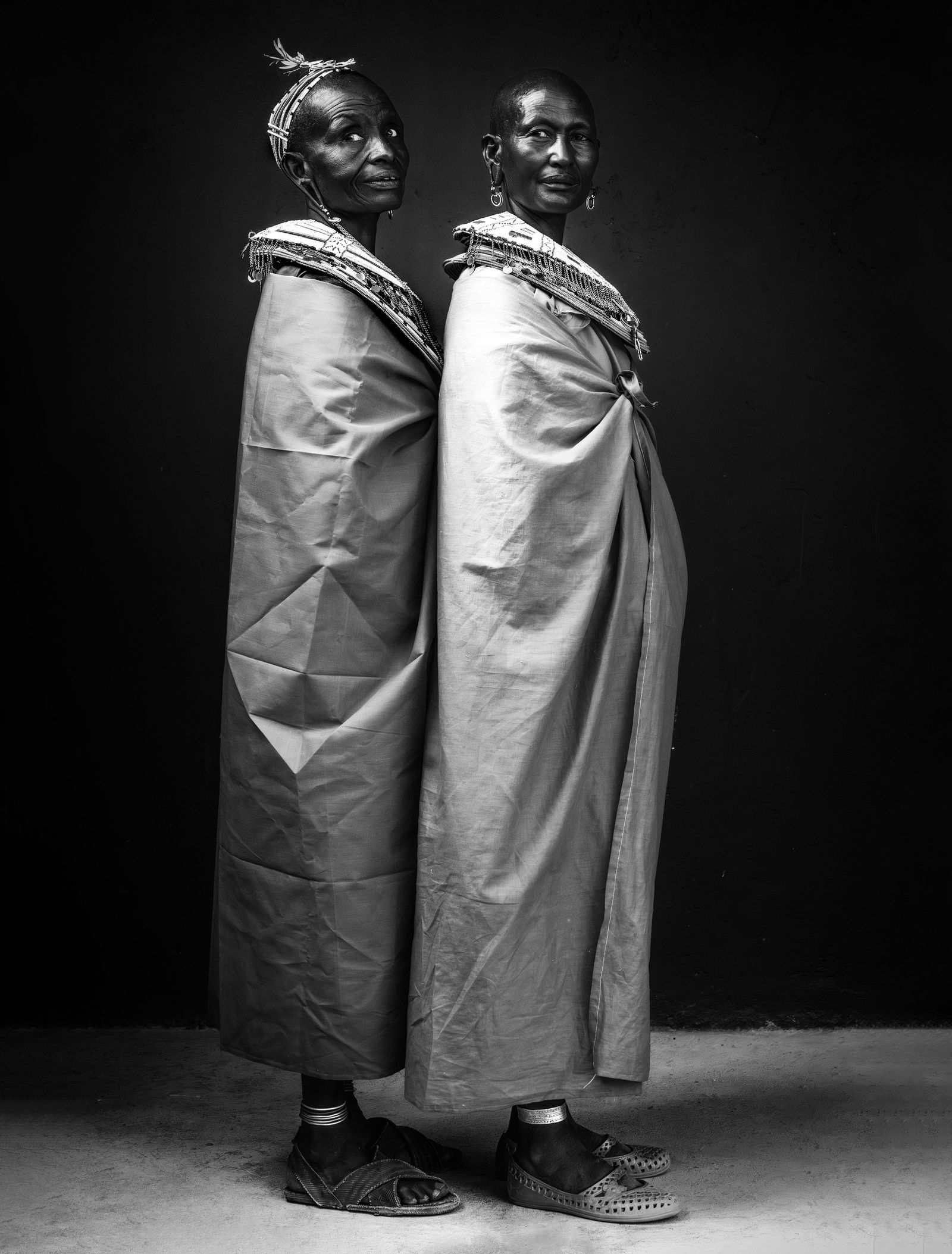
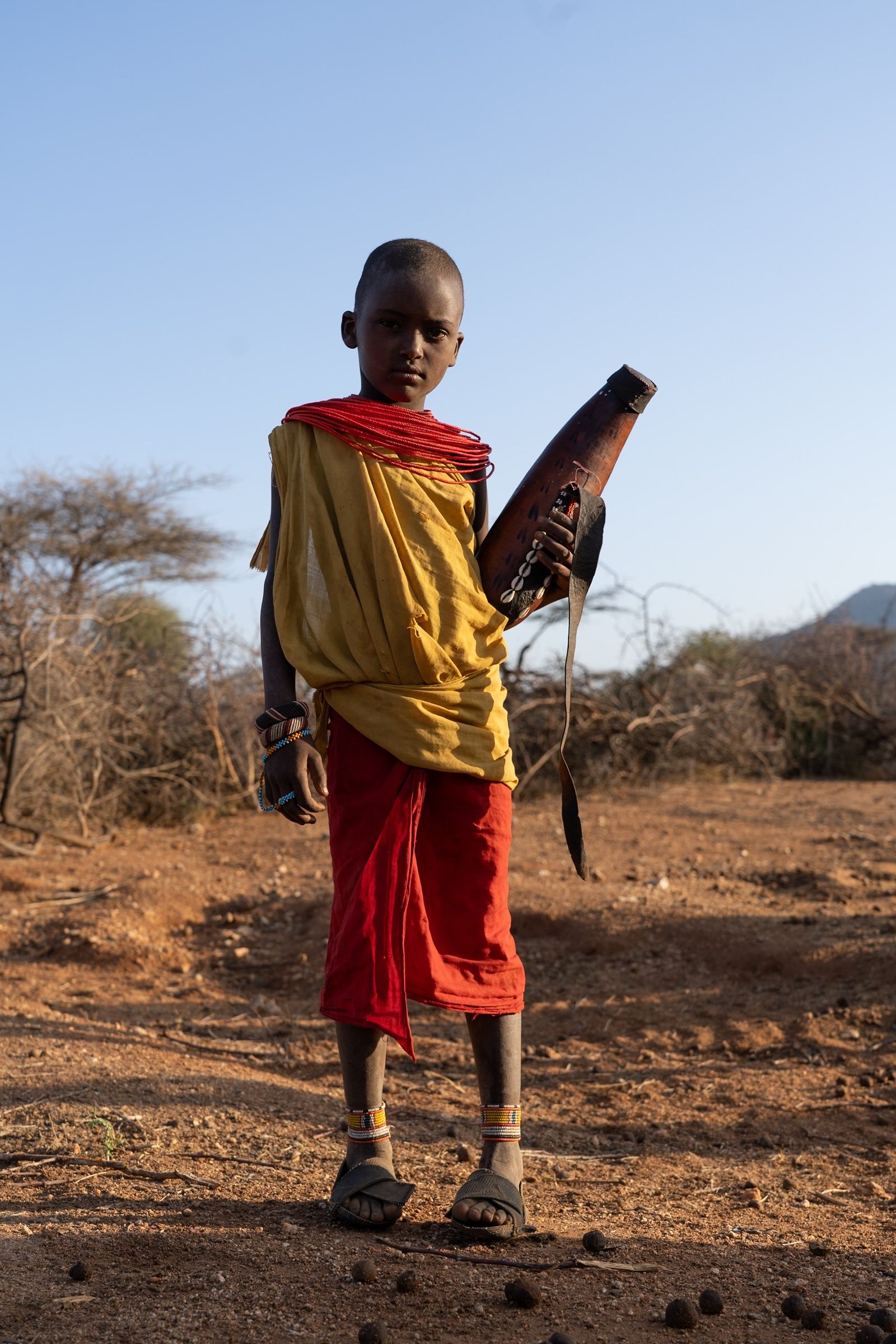
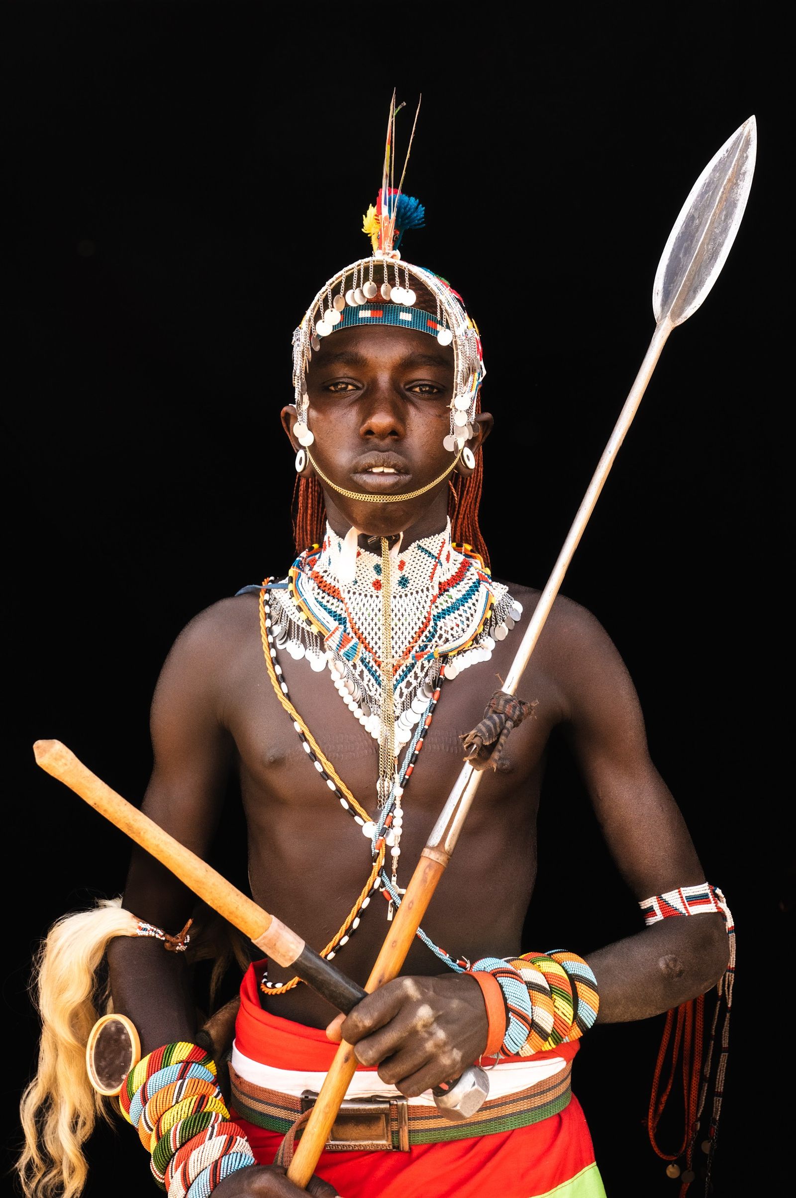
The red in the portraits is ochre. Women colour their faces and necks with it and wear collar upon collar of glass beads, added over the years until they reach from the shoulders to the chin. The beads came to this country by trade, first from Venice and later from Bohemia, in what is now the Czech Republic. A married woman wears the mporro, a necklace named after the large red beads that run down its centre, strung on fibre and giraffe hair. When she marries, her mother gives her beads from her own mporro, so the necklace carries something from one generation to the next. Young warriors redden their hair and skin with ochre, wear beads of their own and carry the spear. Boys carry milk in gourds, and milk has long been the main food of a herding family.
The Mathews Range
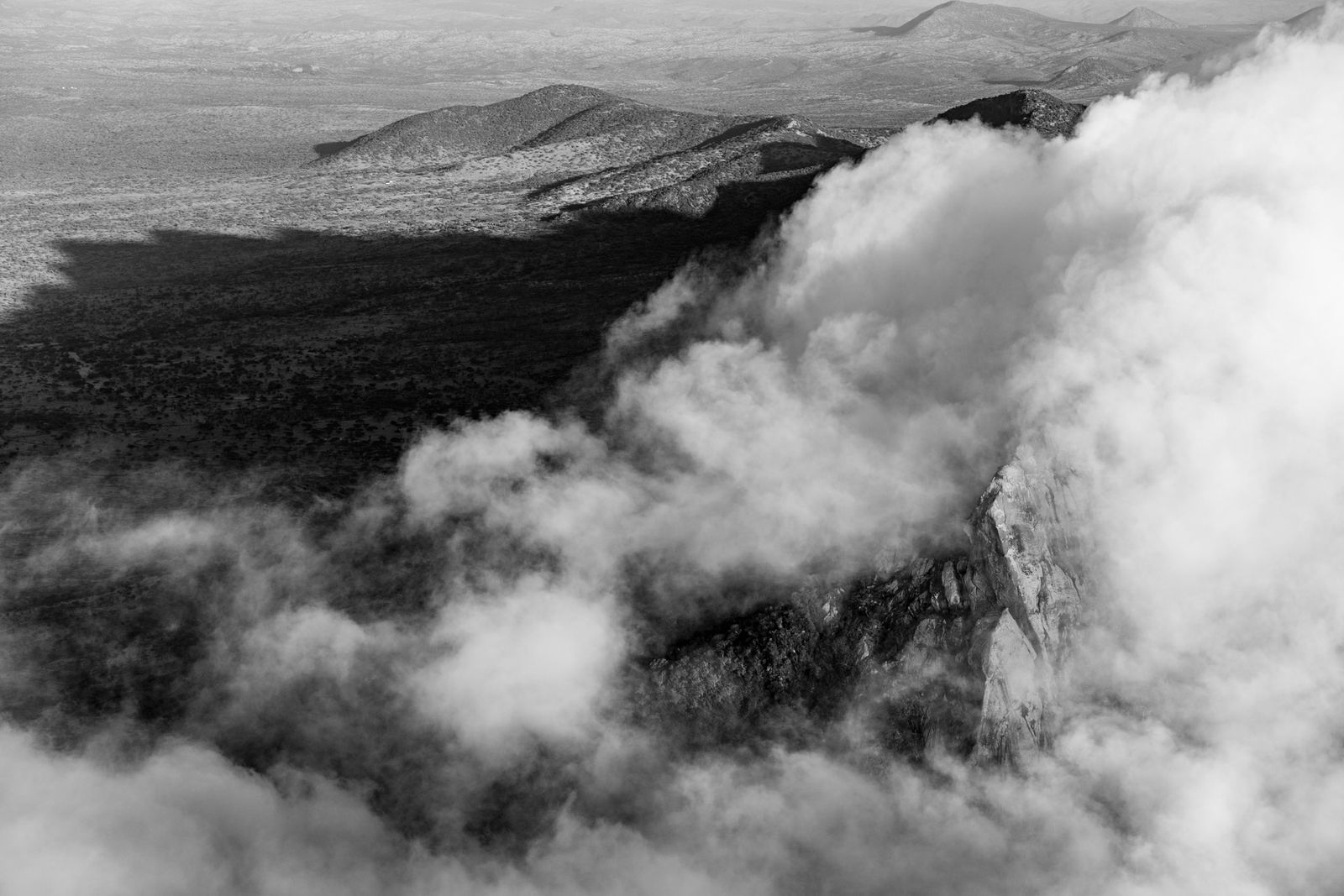
Looking north from Ololokwe, we see the land rise again into the Mathews Range, which the Samburu call Lenkiyio. It is a ridge of granite and old crystalline rock about 150 kilometres long, climbing to 2,688 metres at Warges, its highest peak, near Wamba at the southern end. Its upper slopes catch rain the plain never sees and carry a forest of African juniper and cycads, cut by clear streams and rock pools that fill after the rains. Mountains like this are called sky islands: patches of cool, wet forest stranded above dry country, each holding plants and animals that cannot cross the desert between them. Elephants climb into the forest to feed and drink, and until the 1990s it was one of the last refuges of the black rhino in northern Kenya. The range is so steep and remote that its forest is among the best preserved in the north.
Fine art prints from Samburuland
21 numbered limited editions. From 900 USD.
I show new prints to my list a week before they go on the site. Leave your address and I will write when there are more from this place.
A few letters a year. Unsubscribe with one click. Privacy